


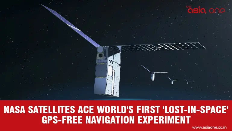
NASA’s Starling mission has successfully tested GPS-free spacecraft navigation using other satellites as moving landmarks.
The mission uses four CubeSats orbiting at an altitude of roughly 565 kilometres above Earth.
Its FALCON experiment uses onboard cameras and a database of around 20,000 known satellites and space objects.
The system identifies nearby objects and uses them as reference points to determine Starling’s own orbit.
The process works autonomously without relying on ground stations, offering a potential solution for missions where GPS signals are unavailable.
FALCON also improved position estimates for around 200 individual objects using observations collected in orbit.
NASA said the work could support space-traffic monitoring, collision avoidance and alternative navigation systems.
The technology could become particularly useful further from Earth, where conventional GPS navigation becomes increasingly impractical.
NASA is studying potential applications around the Moon and Mars, including future lunar satellite swarms and distributed science missions.
The experiment is also relevant to Artemis missions as NASA prepares for more complex operations in cislunar space.
Starling’s technology demonstration was originally expected to end this year, but NASA has extended the mission through at least 2028.
The extended mission will allow researchers to gather additional data and explore how autonomous navigation could support future human and robotic space exploration.