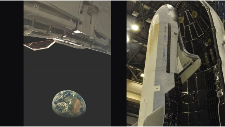


Digantara, a Bengaluru-based start-up, successfully launched the world’s first commercial space surveillance satellite. The cutting-edge satellite, known as SCOT (Space Camera for Object Tracking), is capable of tracking space trash and objects as small as five centimetres in orbit. The achievement represents a substantial advancement in space monitoring technology.
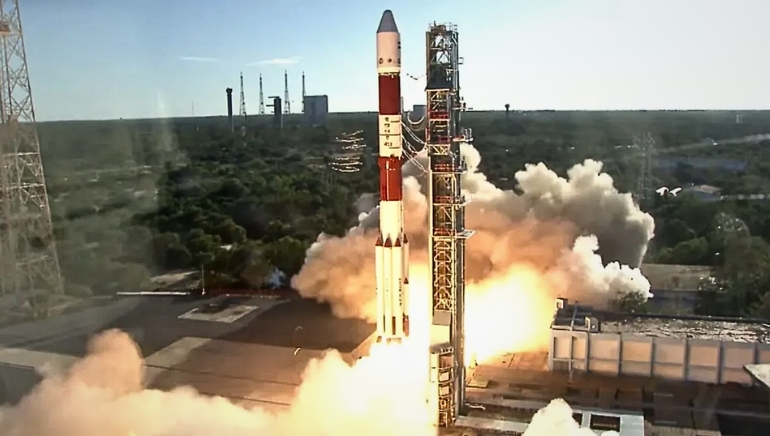
On January 14, SCOT launched as part of SpaceX’s Transporter-12 mission. On Saturday, the satellite commenced operations, capturing its first image over South America. The image, which showed Earth’s limb with Buenos Aires illuminated against the planet’s curvature, was hailed as a significant breakthrough.
“SCOT’s initial image represents more than just a technical feat. “It represents our unwavering commitment to ensuring the sustainability of Earth’s orbits,” said Anirudh Sharma, CEO of Digantara.
The satellite’s powerful tracking system makes regular and precise observations, answering growing worries about space congestion and collision hazards. Its sun-synchronous orbit increases its efficiency, overcoming traditional sensor constraints like restricted fields of view and weather interference.
As global space activity grows, Digantara’s innovation is expected to play an important role in providing satellite operators and regulatory authorities with precise, real-time data for safer and more sustainable space operations.