


The National Remote Sensing Centre (NRSC) of ISRO conducted a four-day capacity-building programme for Bhutanese officials on forest fire detection and mapping burn areas using satellite datasets, strengthening space cooperation between the two countries.
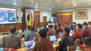
Held from June 9 to June 12 at NRSC’s Jeedimetla campus in Hyderabad, the programme brought 11 officials representing the Department of Forests and Park Services, College of Natural Resources, National Land Commission Secretariat and GovTech Agency from Bhutan.
Organised under the India-Bhutan Space Cooperation Programme, the training was requested by Bhutan’s GovTech Agency to enhance the country’s capabilities in space technology for forest fire monitoring and management.
Scientists from NRSC’s Forestry and Ecology Group provided training on satellite-based forest fire detection, burnt area mapping, fire severity assessment and operational fire management systems, covering thermal remote sensing, active fire detection using MODIS and VIIRS satellite data, artificial intelligence and machine learning applications, and fire alert generation systems.
Experts from ISRO’s Indian Institute of Remote Sensing (IIRS), Space Applications Centre (SAC) and the Forest Survey of India (FSI) delivered lectures on fire danger rating systems, real-time forest fire monitoring and India’s operational fire management practices.
As part of the programme, the Bhutanese delegation visited NRSC’s Shadnagar campus to learn about India’s satellite data reception and processing infrastructure, including the Satellite Data Reception Facility, Bhuvan Geoportal Services and the National Database for Emergency Management.
The programme explored opportunities to expand bilateral cooperation in space technology for forest fire monitoring and sustainable forest management.